Overview of closures
Skočit na navigaci
Skočit na vyhledávání
You'll find out which way you can't go.
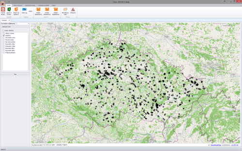
Table of restrictions that can be displayed on the map.
- selection is made by checking the box in front of the name
| Displayable restrictions | Note |
| No entry | |
| Detours | |
| Inappropriate routes | for the vehicle type |
| No winter maintenance | the path is not generated in the maps between 15.11. - 27.2. |
| Maximum weight | |
| Maximum height | |
| Maximum width | |
| Maximum width | |
| Maximum length | |
| Passage forbidden |
Map preview
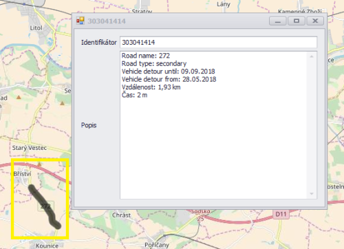
Restriction detail
Clicking on a restriction that is shown in black on the map will bring up a table with a more detailed description of that restriction.
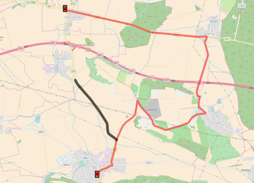
Verification of route planning within restrictions
- right-click in the starting location on the map - a red triangle will appear
- right click on the destination - a red star will appear
- followed by a route plot
- Click on the route to bring up a table with a description of the route (distance, time, average speed)


